.png)

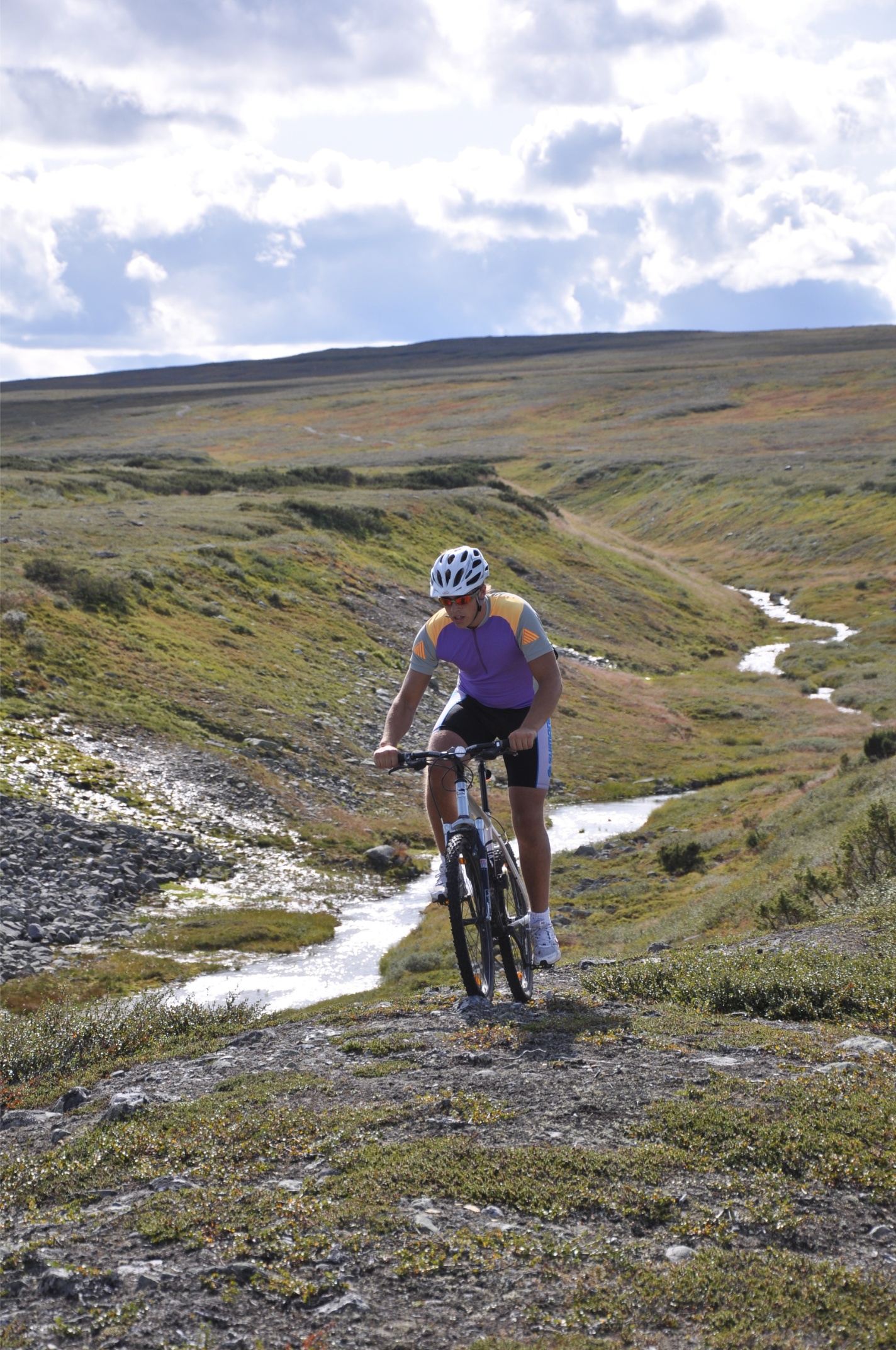
Mountain hiking
In Bydalsfjällen, you’ll find three peaks: Östfjället, Västfjället, and Drommen - all suitable for the whole family. The hikes are easily accessible and can be completed at your own pace. The reward is breathtaking nature and views that make every step worthwhile.
Bring your phone, take a photo at each peak, and show them at the reception - and you’ll have the opportunity to purchase the “Three Peaks” badge from us.
Östfjället peak
Elevation: 1,167 m above sea level
Distance: approx. 10 km
Duration: approx. 4 hours
If you’re drawn to a summit hike and want to venture beyond marked trails, Östfjället peak is a great option. On a clear day, the view from the top is spectacular. To the east, you’ll see down towards Storsjön and the surrounding region, and to the west, large parts of the western Jämtland mountain range.
From the Fjällgården in Gräftåvallen, follow the signs marked “summer trail to the mountains.” The trail turns toward the ski slope and continues straight up toward the lift’s turning wheel. There is no marked cairn trail leading all the way to the summit, but it’s still easy to find your way. One option is to hike toward Tväråstugan and then head west where the trail turns south. From there, simply continue until you reach the summit cairn.
Another option is to head straight up from the lift’s turning wheel, either directly or by zigzagging your way up. You’ll pass four levels before reaching the fifth level, where the summit cairn stands. Place a stone on the cairn and make a wish - many before you have done the same, which is why it has grown so tall.
Choose your descent based on the route you took on the way up.
Västfjället - Stenhyddan
Elevation: 1,158 m above sea level
Distance: approx. 10 km
Duration: approx. 5 hours
Västfjället is an easily accessible mountain with clearly marked trails, and the ground is usually dry. To save some elevation gain, you can start your hike from the parking area at Fjällhalsen and follow the cross-marked trail up towards the alpine zone. The path runs alongside a stream ravine - a perfect spot to drink fresh water or refill your bottle.
The trail gradually climbs toward the summit, and just before reaching the top, you turn left for the final ascent and the satisfaction of reaching 1,158 meters above sea level. From the summit, the trail continues westward, and before long you’ll reach the junction leading to Stenhyddan, where you turn right.
Stenhyddan was built around Midsummer in 1896 as a rest cabin for early tourists - the so-called “air guests” who traveled to the mountains for the clean air. The cabin was reopened after renovation in 1979 and is still visited each year by hikers who stop to rest and enjoy their packed meals.
After a break at Stenhyddan, follow the trail south through the pass between Västfjället’s outlying ridge and Hovdeshögen. Once you reach the ski system, keep your elevation and continue along the trail back toward Fjällhalsen.
Drommen
Elevation: 1,140 m above sea level
Distance: approx. 5 km
Duration: approx. 5 hours
Dromskåran is the signature hike of the area and one of the most well-known geological landmarks in Bydalsfjällen. This dramatic glacial canyon is a so-called saddle notch, about one kilometer long, 70 meters deep, and 150 meters wide, formed at the end of the last Ice Age. Hiking around and through Dromskåran offers both excitement and stunning views.
You can reach Dromskåran in two different ways - or combine them into a loop for the full experience. That way, you’ll see the canyon both from above and from within.
Option 1
Follow the road through Höglekardalen Holiday Village to the end of the road and the district heating plant. From there, continue along the path into the forest and up along the mountainside. Just before the canyon begins, there’s a rest area by a stream - your last chance to refill your water bottle. Keep right to reach the canyon; if you go left, you’ll head toward the summit.
Option 2
Follow the trail up the right-hand side of Drombacken to the top station of the Drom lift, then continue along the marked trail through Bastudalen Nature Reserve. Dromskåran will now be below you on the left, where you can view it from above and descend into it after passing the top.
Drommen summit – 1,140 m above sea level
If you want to reach the summit, follow the marked trail from the top of Dromskåran. It circles the peak, and you approach it from the backside. The distance from the top of Dromskåran to the summit of Drommen is approximately three kilometers.
You can also reach the summit via the trail that branches off at the rest area just before Dromskåran (Option 1).

.png)
.png)